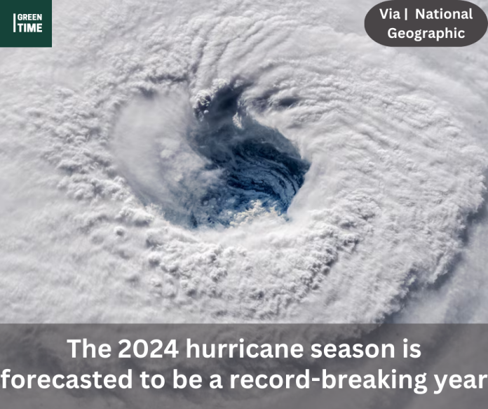
The National Oceanic and Atmospheric Administration (NOAA) predicts that the 2024 Atlantic hurricane season may be among the busiest ever. In a press conference, NOAA Administrator Rick Spinrad stated that the number of storms expected to form this year is “the highest NOAA has ever issued.” The agency has released its annual hurricane forecast.
The 2024 season runs from June 1 to November 30. The organization is predicting 17 to 25 named storms overall. Up to 13 of the storms have a chance to strengthen into hurricanes, with four to seven of them having the potential to reach category 3 or higher status as major hurricanes. There is an 85% possibility of having an above-average hurricane season overall, according to NOAA analysts.
According to Spinrad, “this season is looking to be extraordinary in several ways.”
Specialists who have been closely monitoring the situation probably don’t find the announcement surprising. In a March interview with National Geographic, experts cautioned that the Atlantic Ocean’s warm sea surface temperatures combined with the Pacific Ocean’s developing La Niña may produce a “perfect storm” that would include all the elements necessary for powerful storms.

How hurricanes originate
Any tropical cyclone, also known as a hurricane, typhoon, or cyclone depending on its location, forms due to warm water temperatures and the absence of wind shear.
According to AccuWeather’s chief hurricane forecaster, Alex DaSilva, wind shear is the result of wind changing its direction and speed at various atmospheric heights. He claims that wind shear effectively topples storm clouds, preventing tropical cyclones from forming by preventing them from ascending directly into the atmosphere. “And so that kind of keeps tropical systems from intensifying too much.”
This explains why categories for hurricanes don’t provide a complete picture.
Additionally, surface water must be at least 79 degrees Fahrenheit (26 degrees Celsius) in order for tropical storms to form. The warm sea and the warm air immediately above it fuel the storm. As warm air rises, it forms a low-pressure system beneath the hurricane, into which more warm air pours, enabling the storm to intensify.
According to Matt Rosencrans of NOAA’s Climate Prediction Center, the heat content of the top 330 feet of the ocean determines a storm’s severity more than anything else.
In the event that the water is extremely shallow, you will agitate everything and possibly extract some chilled water. However, he claims that if there is a sizable warm water reservoir, the storm will continue to draw water.

